
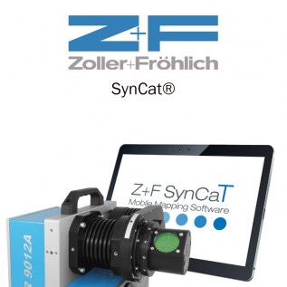
Z+F SynCat®
SynCaT stands for synchronization, calibration and transformation - also representing the main tasks of the software
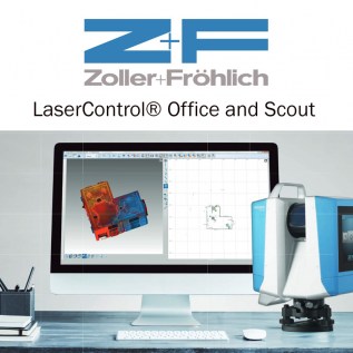
Z+F LaserControl® Office and Scout
Optimal solution to work efficiently and fully with the laser scanners of Zoller + Fröhlich
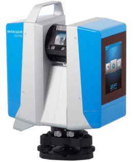
Z+F IMAGER® 5016
The new terrestrial 3D laser scanner Z+F IMAGER® 5016 combines compact and lightweight design with state-of-the-art 3D laser scanning surveyor technology.
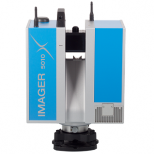
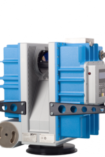
Z+F IMAGER® 5010X
Indoor positioning system and GPS for instant automatic registration in the field
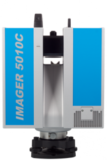
Z+F IMAGER® 5010C
The terrestrial 3D laser scanner Z+F IMAGER® 5010C sets new standards for laserscanning! The integrated camera allows combining brilliant colours with high-resolution scan data. ...


UNDET
Developed by 3D measurement professionals with an excellent understanding of the needs and challenges that come with 3D measurement and as-built documentation preparation based on point ...

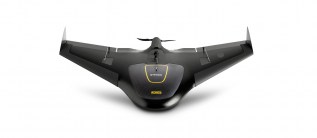
TSR-1800
The TSR-1800’s automated thermal anomaly detection is made possible by the TABI imager’s high temperature and spatial resolution capabilities. Flying low (~500 m or 1627 feet above ground ...

TopoDOT
TopoDOT is CAD application for extracting high quality models from LiDAR system data

TerraSolid TerraStereo
TerraStereo is a stand-along application for visualizing very large point clouds
TerraSolid TerraScan
TerraScan is the main application in the Terrasolid Software family for managing and processing all types of point cloud

TerraSolid TerraPhoto
TerraPhoto is specifically developed for processing images captured together with laser data during a survey mission
TerraSolid TerraModeler
TerraModeler offers versatile visualization options including colored shaded surfaces, contour line, grids, colored triangle nets, elevation texts, slope directions and textured surfaces

TerraSolid TerraMatch
TerraMatch allows for strip adjustment of laser data from many different moving sensors, both airborne and mobile.