Mapping & GIS


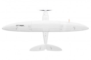
DT18 HD PPK
CENTIMETER LEVEL OF ACCURACY AND ENDURANCE WITHOUT GCPS : YOU CAN HAVE IT ALL


_317x317.jpg)

3DM PLUGIN FOR 3RD PARTY
QGIS, AutoCAD Map, ArcGIS for Desktop, ArcONLINE, GeoCortex, API access published 3D mapping data within 3rd party workflow measure, overlay and extract from Imagery & Point Cloud


3DM FEATURE EXTRACTION
Complete mapping unit for Image, LiDAR and DSM mapping process features and results in semi- or full automated mode document assets, centralize data management roles and permissions for ...

Orbit 3DM Content Manager
organize & manage, catalog & archive improve & optimize image and point cloud data QA/QC, document and report independent deliver ready-made projects after capture upload to share online

Bentley Pointools
Quickly visualize, manipulate, animate, and edit point clouds all in a single workflow. This streamlined process helps you decrease production time and increase overall accuracy.


Bentley MicroStation
MicroStation is the world’s leading information modeling environment explicitly for the architecture, engineering, construction, and operation of all infrastructure types including utility ...

CMP1 Miniphone
CMP1 Miniphone Smaller than the palm of your hand, this tiny, but mighty Android miniphone packs all your smartphone capabilities into a convenient, travel-sized device. Rated IP65, the ...

CT4
CT4 RUGGED ANDROID HANDHELD The CT4 rugged handheld provides ruggedness and functionality in a lightweight, compact package. Featuring 3.5G GSM cellular, Wi-Fi, Bluetooth, GPS, and an 8 ...